
Follow a Pearl City Street
A sound Pearl City street directory search moves from map evidence to record evidence. Start with the exact site, or situs, address shown on the parcel. Honolulu’s Real Property Assessment Division, called RPAD, links that address to a Tax Map Key. A TMK is the parcel identifier used across assessment, planning, permit, and land-record systems. It is more stable than a street spelling, especially where a condominium property regime, or CPR, divides one parcel into units.
Do not treat the first name on a parcel card as a resident list. The assessed owner may receive notices elsewhere, and the mailing field may name an agent, trust, or business. Use this order:
- Run the full address through the Honolulu property search. Save the situs, TMK, sales reference, and separate mailing address.
- Open Honolulu GIS, confirm the parcel, then click along the same street segment to record nearby TMKs.
- Check permit records by address or TMK to date physical work. A permit names a project, not every person at the site.
- Use the TMK or instrument number in Bureau of Conveyances records. Read grantor as the party giving an interest and grantee as the party receiving it.
- For an older household, use the Honolulu directory street guide and census years. Check each name against the page, year, and address.
This chain shows where each fact came from. It also exposes conflicting dates. That matters on a Pearl City street where a postal label, parcel map, election district, and historical directory may describe the same place in different ways.
Search Pearl City Addresses in RPAD
RPAD is the main address-to-parcel entry for Pearl City. Its records may include parcel identity, site and mailing addresses, values, tax classes, exemptions, building traits, and sales information. The public address and TMK routes were verified. A live owner-name or ZIP-wide filter was not fully available during research, so a by-street search should rely on the known address and parcel controls rather than promise an unverified citywide name search.
| RPAD field | Street use | Limit |
|---|---|---|
| Site or situs | Matches a parcel to its number | Postal city may differ |
| TMK or Property ID | Joins GIS, permits, and deeds | CPR suffixes can split units |
| Mailing address | Tax-notice destination | Not proof of residence |
| Sales history | Date or instrument lead | Not certified title |
| Exemption and class | Tax-use context | Not conclusive occupancy proof |
| Building details | Identifies the site | May be estimates |
Record situs and mailing data in separate columns. This prevents the most common error in a Pearl City street directory: calling a tax-notice destination the owner’s home. RPAD gives assessment evidence; the Bureau of Conveyances holds the land instruments that confirm a transfer.
Map Pearl City Streets in HoLIS
The Honolulu parcel selector accepts a Current Tax Parcel, Current Regulatory Parcel, Current Address ID, Current Address Label, TMK, or point of interest. HoLIS can add zoning, flood, Special Management Area, warnings, and other rules. Those layers describe land. They do not identify a household.
Map browsing helps when RPAD rejects an old spelling or a corner parcel has an unexpected address. Zoom to the street, click each lot touching or facing the segment, and copy its label and TMK. Mark roads, streams, facilities, common areas, and CPR parcels so none is mistaken for a home. Exact names of advanced neighbor or export tools were not captured, so only the verified click-and-browse method should be assumed.
View the live Honolulu parcel selection source before relying on a current label.
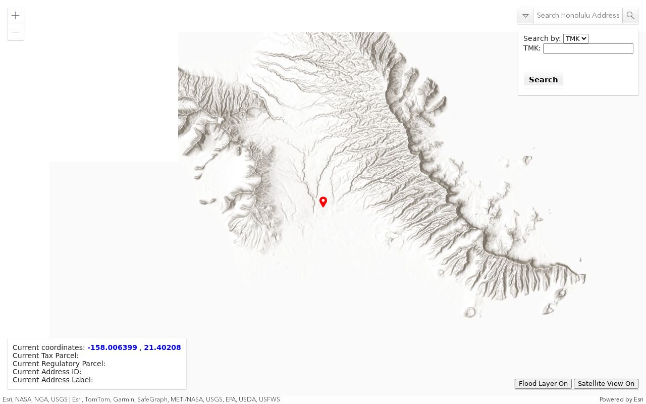
The selector shows why TMK and mapped address fields bridge a Pearl City street name to records kept by separate Honolulu agencies.
Pearl City Records Keyed by Street
No office keeps a complete Pearl City household roster. Address research works because official and historical sources can be joined through a street number or TMK. Each has a distinct keeper and proof value.
| Address source | Custodian | Evidence | Access |
|---|---|---|---|
| Parcel card | Honolulu RPAD | TMK, situs, mailing, assessed facts | Public address/TMK search |
| Parcel map | Honolulu GIS/DPP | Shape, label, zoning, flood, SMA | Public HoLIS map |
| Deeds | DLNR BOC | Parties, instrument, legal description | Online 1976+; request before 1976 |
| Permits | Honolulu DPP | Work, dates, status, project facts | Open data, HNL Build, DAIB/UIPA |
| Election geography | Elections/City Clerk | District, precinct, voter-status fields | Self-check or restricted request |
| Directories | HSL, HSA, UH | Dated name, business, street number | Print, microfilm, selected digital books |
RPAD and HoLIS establish a parcel. BOC records the land interest. Permit rows describe work. A directory or census may supply a dated household clue. If sources conflict, keep both dates and ask the custodian which identifier changed.
Four Pearl City Address Keys
Terms that look alike can point to different facts. Define them before copying a by-address result:
- Parcel
- A mapped unit of land. One address can include several units, while one parcel may include a common area.
- Situs address
- The physical assessed address, distinct from the tax mailing destination.
- Plat and TMK
- A plat is a mapped land division. The TMK identifies the tax parcel across local systems.
- Criss-cross directory
- A book arranged by street or phone instead of surname. No separate Pearl City volume was verified, so use street guides within Honolulu directories.
Postal routing adds another layer. Census data shows 96782 and 96701 intersecting Pearl City, while 96701 is labeled Aiea. ZIP areas, the Pearl City CDP, Neighborhood Board No. 21, and legislative districts do not share one outline. Use USPS for mail, HoLIS for parcels, and the official street index for precincts.
Pearl City Parcels to Recorded Deeds
The Bureau of Conveyances online services own the recorded-land step. Online index coverage begins in 1976. Searches can use TMK, document number, grantor or grantee, dates, and land or book data. A transfer-title filter narrows results. Full images require an account and payment, and previews may be watermarked.
Check current BOC service terms before ordering an image.
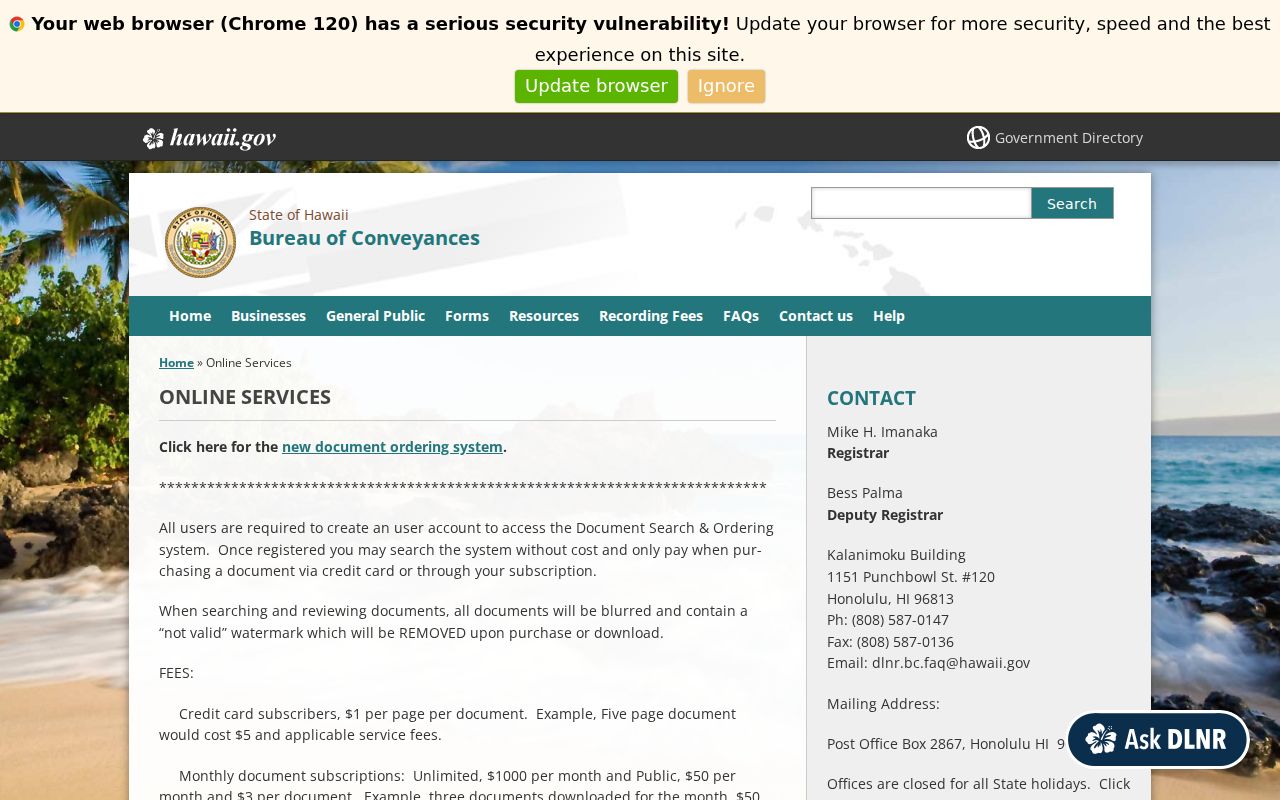
Compare the TMK or legal description, date, party role, and related instrument before buying a document. A recorded party proves a land interest at a point in time, not physical occupancy. For pre-1976 documents, use the BOC written request or reference room. Supply known parties, book and page or other reference, type, certification need, payment, contact data, and return envelope as instructed.
Pearl City Permits Date Street Change
Honolulu permit data may explain why the physical record of an address changes. The verified open-data snapshot covers 2008 through June 30, 2017 and can show permit number, TMK, issue and completion dates, work type, contractor, value, status, floor area, and additions, alterations, demolition, foundation, or solar work.
A permit is evidence of work, not a resident list. Current files may need HNL Build, the Department of Planning and Permitting’s Data Access and Imaging Branch, or a request under the Hawaiʻi Uniform Information Practices Act. The DPP contact directory identifies the proper branch.
Match permits by TMK as well as number. This helps when a road label shifts or a lot divides. Note: a project date can explain a building change, but it does not prove who lived there.
Read Pearl City Directories by Street
The historical layer comes from Honolulu and Oʻahu-wide books, not a Pearl City-only volume. Use each street-and-avenue guide to find a road, then copy the name, address, page, year, and home or residence mark. Compare the segment in nearby years. This is the closest verified reverse method because no independent local criss-cross book was found.
The series has real gaps. The library guide lists no printed runs for 1943 through 1946, 1950, or 1952. Bridge a missing year with newspapers, census schedules, deeds, permits, and nearby books, never assumption. The Pearl City directory book covers the publisher runs and shelves in depth.
Historic maps provide checks when a number fails. The Aiea-Pearl City plan and H-1 material show points from 1890, the 1920s, the 1950s, and 1970. No official renumbering schedule was found. Follow the legal description, plat, TMK, and street guide instead of inventing a date.
Pearl City Streets Cross Districts
Pearl City spans parts of House Districts 34 and 35 and several Senate and Honolulu Council assignments. Match an address to the official street and precinct table because neither ZIP nor neighborhood name can assign the right precinct.
The Hawaiʻi Online Voter Registration System is a credentialed self-status service, not a public street search. HRS section 11-97 makes full name, district or precinct, and voter status public while protecting much of the affidavit. Election-purpose files have use restrictions and were not verified as free public block downloads.
Geography check. A Pearl City mailing label does not establish a CDP, precinct, council, or parcel boundary; verify each in its own official system.
Neighborhood Board No. 21 records offer a civic view of traffic, Waiawa Stream, water, parks, schools, and Sunset Memorial Park. Agendas and testimony show public concerns, but no household list.
Limits of Pearl City Street Lookups
A Pearl City street directory can document parcels, assessed owners, recorded parties, permits, districts, and dated directory entries. It cannot reveal every occupant. Household members, visitors, utility customers, and protected residents do not become public because a parcel is mapped. DMV address data is protected, and the voter portal does not let strangers search a street.
Commercial compilation tools may blend stale books, marketing files, and public records. They can merge similar names or retain old addresses. For family history, estate work, scam checks, or civic questions, official custodians provide clearer source dates and correction routes.
Lawful use. Use Pearl City address records only for lawful personal research. Never use them to locate, stalk, harass, intimidate, or harm anyone.
The Hawaiʻi Address Confidentiality Program gives eligible survivors a substitute address and mail forwarding through certified assistants. Do not compare voter, deed, parcel, or court data to uncover a protected location. A missing address is a privacy boundary.
When a record seems wrong, take the TMK, document number, date, and source label back to RPAD, GIS, DPP, BOC, or the issuing office. A precise correction request is safer than choosing the answer that seems convenient.